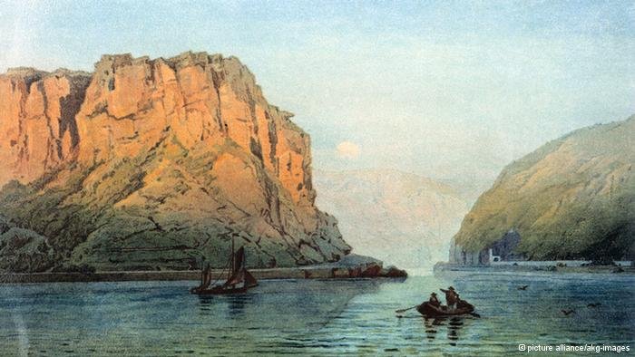
The Rhine is one of the world's busiest waterways. It is 1,238 kilometers long and flows through six countries - from its source in the Swiss canton of Graubünden to its mouth on the North Sea coast of the Netherlands. DW shows what makes this river special and why it has enchanted visitors and locals alike for centuries.
The project's most eye-catching feature is a digital map that traces the course taken by the river. Users can access various information and multimedia material by clicking on different places marked on the map, including short city portraits covering local tourist attractions. Meanwhile, three five-minute videos depict the river's course and inform about the Upper, Middle and Lower Rhine.
The reports also take a look at protected riverside meadows, follow in the footsteps of painter William Turner in the Middle Rhine Valley and show sports enthusiasts who enjoy climbing the industrial ruins of the Lower Rhine region. Additional pieces shed light on the legend of the Nibelung treasure, the mythical Loreley and the Rhine Romanticism.
Picture galleries illustrate the relationship between art and nature, culinary specialties and the transformation from an industrial to a cultural landscape.
Users can access additional information about the Rhine with just one click on the map. All online content is currently available in English, German and Portuguese for Brazil. Further language editions will follow.
"Along the Rhine" in English:
www.dw.de/rhine
"Along the Rhine" in German:
www.dw.de/rhein
"Along the Rhine" in Portuguese for Brazil:
http://www.dw.de/not%C3%ADcias/ao-longo-do-reno/s-100541


